A new study by Nagaland University has called for the use of Geographic Information System (GIS)-based mapping and planning tools to address rising soil erosion and land degradation across Northeast India.
The research highlights how fragile hill ecosystems, changing land-use patterns and heavy rainfall are causing environmental stress in the region, affecting agriculture, water resources and rural livelihoods.
The study underlined that scientific land monitoring and data-driven planning could help policymakers identify vulnerable areas, improve watershed management and reduce long-term ecological damage across the Northeast.
Also Read: GIS Mapping & Citizen-Led Ideas to Boost Urban Cleanliness: Mumbai BMC
Growing Environmental Pressure in Northeast India
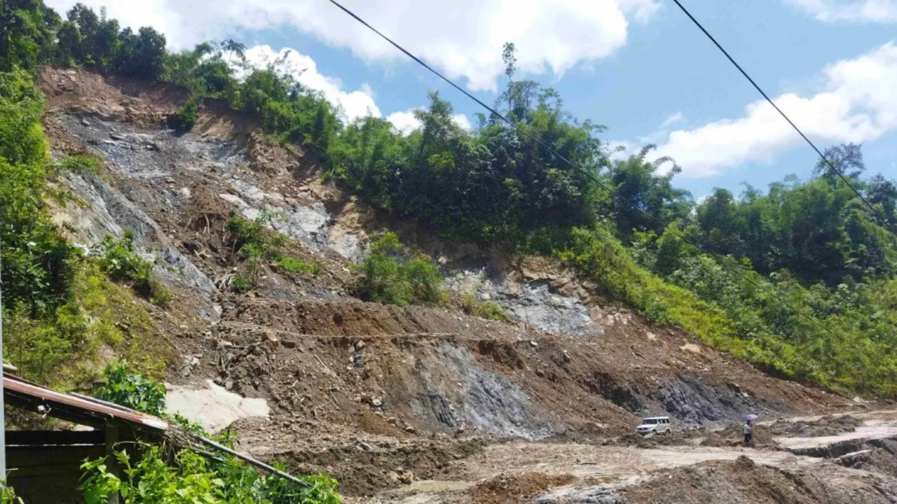
Researchers from Nagaland University examined patterns of soil erosion in hilly and forested regions of Northeast India. It is an area known for steep terrain and high rainfall intensity.
The study noted that rapid deforestation, unplanned development activities and shifting cultivation practices have increased the risk of land degradation in several pockets of the region.
“Excessive soil erosion is impacting agricultural productivity and increasing sediment flow into rivers and water bodies.”
-said researchers
The study warned that continued degradation could threaten food security, biodiversity and local water systems if mitigation measures are not strengthened.
The research advocates wider deployment of GIS-based tools and remote sensing technologies to monitor land-use changes, map erosion-prone areas and support sustainable planning decisions. It also stressed the importance of integrating scientific assessments into regional development policies.
Also Read: GIS-Led Infrastructure Overhaul for Nagpur to Improve Road Conditions
GIS Technology: A Tool for Sustainable Land Planning
GIS-supported environmental monitoring can help governments and local agencies improve conservation strategies by providing accurate spatial data and real-time assessments of vulnerable landscapes. Researchers also recommended targeted afforestation, watershed restoration and improved land management practices in high-risk zones.
The report also highlighted the need for collaboration among academic institutions, local administrations, and environmental agencies to develop long-term resilience strategies for the Northeast.
Experts involved in the study said technology-driven land governance could support climate adaptation efforts while balancing infrastructure growth and ecological protection in sensitive hill regions.