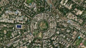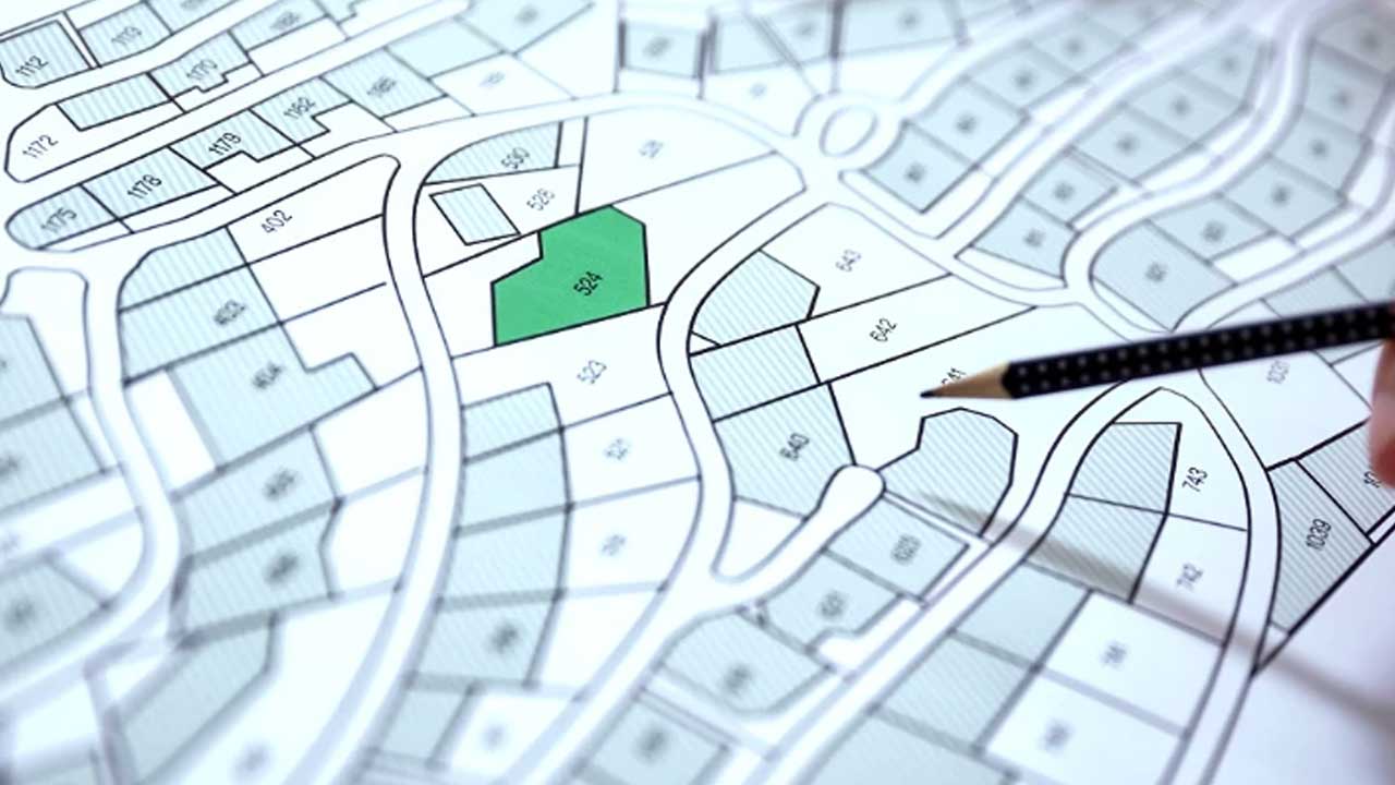
The Delhi government has launched an exercise to build a comprehensive GIS-based digital database of the Capital’s road network and infrastructure. The aim is to give authorities a centralised view of road assets for planning, maintenance and management.
The initiative uses a new platform called the Road Asset Updating System (RAUS). Geospatial Delhi Limited (GSDL), a Delhi government undertaking responsible for data collection and maintenance, developed it.
Also Read: Buying a Hybrid Car in Delhi? New Policy Change Could Impact Your Savings
RAUS to Create Centralised Road Infrastructure Database
According to officials, the GIS-based digital database of road infrastructure will allow road-owning agencies to upload, verify and update information on individual road stretches.
The system records geographical data along with the key physical & infrastructure details of each road. The aim is to provide authorities with an accurate, centralised inventory of Delhi’s road network.
Each road stretch will have 18 mandatory attributes in the planned database.
This includes:
- Road classification: starting and ending points
- Geographical coordinates: surface type, road width
- The agency responsible for its maintenance
The information will be collated digitally instead of traditional methods, where different road-owning agencies maintain it separately.
Also Read: Delhi Bets on Chip Design Over Fab Plants in New Semiconductor Push
Delhi Road Mapping Aims to Support Planning and Maintenance
The government plans to improve how road infrastructure is planned, maintained & managed across the National Capital Region.
With RAUS, agencies can update road information as needed, while the database serves as a common reference for road-related planning.
GSDL developed the platform, which is tasked with data collection and maintenance for the Delhi government.
The launch comes as authorities demand a structured digital record of the Capital’s road assets. The GIS-based digital database of road infrastructure is designed to bring road location & physical details into one system. This will give agencies better access to consistent information when managing individual road stretches.
For Delhi’s smart infrastructure ecosystem, the key development to watch is how road-owning agencies use this centralised road data for planning, maintenance and day-to-day infrastructure management.

Samarjit Kaur is a journalist and communications professional covering technology & emerging digital trends. With a focus on clarity and context, she reports on developments shaping industries and governance. When not reporting, she chooses to plug-in and relax on her playlists and plan her next bucket-list trips!