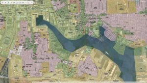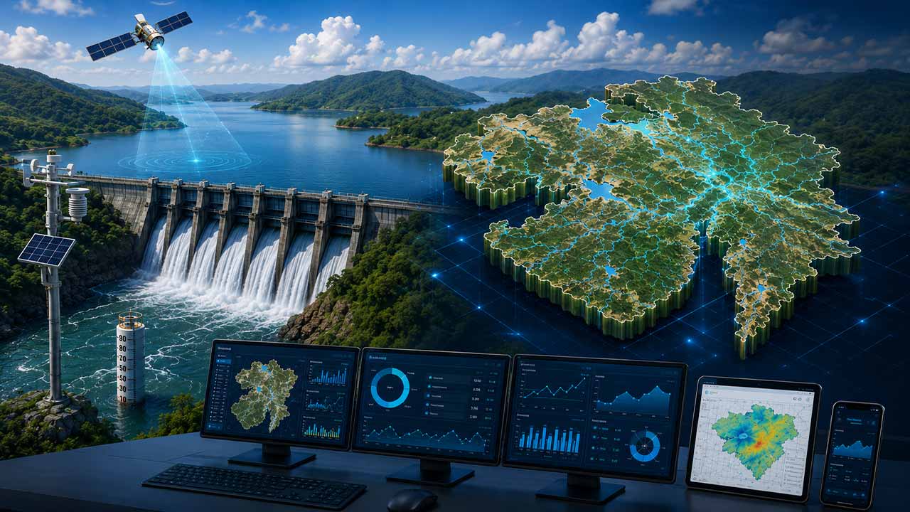
Gujarat has launched India’s first Geographic Information System (GIS)-based Digital Reservoir Management System.
The progress marks a significant step towards technology-led water resource management and smarter public infrastructure planning. The platform has been developed under the PM GatiShakti framework and is designed to manage more than 1,000 reservoirs across the state digitally.
The new system arrives at a time when governments across India are increasingly turning to digital tools, real-time data and geospatial technologies to improve water security, resource planning and infrastructure monitoring.
Also Read: Gujarat Revenue Department Turns to AI, Blockchain and GIS to Strengthen Land Governance
Bringing Reservoir Management onto a Single Digital Platform
According to the Gujarat government, the platform enables end-to-end digital management of reservoirs, replacing several manual processes that previously required coordination across multiple departments. The system is expected to speed up reservoir lease approvals, improve revenue tracking and increase transparency in decision-making.
Officials said the digital framework has also been designed to encourage greater participation from local fishing communities while supporting the sustainable use of water bodies and aquatic resources.
Also Read: Pune-Pimpri Chinchwad Begins GIS Mapping, Biometric Survey to Streamline Slum Rehabilitation
GIS Mapping Powers Wider Infrastructure Planning
The reservoir management system forms part of Gujarat’s broader adoption of GIS-based governance under PM GatiShakti. The state has integrated more than 2,900 data layers, including over 1,500 state datasets and 1,400 central government datasets, enabling real-time mapping and monitoring of more than 2,400 ongoing and planned projects.
Government data show that the mapped projects include 858 initiatives in the water resources sector, 795 energy projects, 422 road and building projects, and 242 urban development projects. The digital ecosystem also supports faster approvals through integrated tracking and electronic workflows.
Also Read: GIS-AI Powered Land Mapping: Tamil Nadu Readies STAR 3.0 For Digital Governance
A Smart Cities and Water-Tech Milestone
The launch is being viewed as an important development for India’s growing smart governance and water-tech ecosystem. By combining GIS mapping, digital approvals and real-time monitoring, the state aims to improve planning efficiency while reducing delays associated with traditional administrative processes.
With climate resilience, water conservation and digital infrastructure emerging as key priorities for policymakers, Gujarat’s reservoir management model could serve as a reference point for other states seeking to modernise water governance through technology.
As India accelerates investments in smart cities, digital public infrastructure and climate-resilient utilities, geospatial technologies are expected to play a larger role in how states manage critical assets such as reservoirs, irrigation networks and urban water systems.

Samarjit Kaur is a journalist and communications professional covering technology & emerging digital trends. With a focus on clarity and context, she reports on developments shaping industries and governance. When not reporting, she chooses to plug-in and relax on her playlists and plan her next bucket-list trips!