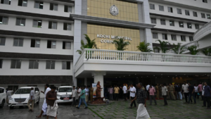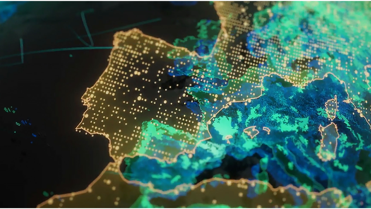
The Pune Municipal Corporation (PMC) has decided to improve property tax collections by integrating Geographic Information System (GIS) mapping with its existing property database.
The aim is to identify unassessed or under-assessed properties and plug revenue leakages in one of the city’s key income streams.
Also Read: How GIS Can Strengthen Mapping of India’s Commons: A Policy Explainer
GIS Mapping Drive to Identify Tax Gaps
PMC officials said the civic body is aligning GIS mapping data with its existing Enterprise Master Address Management System (eMAMS) to create a more accurate and comprehensive property database. The exercise is expected to help detect discrepancies such as missing properties, incorrect classifications and mismatched records.
The mapping initiative includes residential, commercial and mixed-use properties across Pune. By overlaying spatial data with tax records, authorities can flag properties that are either outside the tax net or paying less than due.
According to the officials, the data-driven approach can reduce manual errors and improve transparency in tax assessment. It will further allow quicker record verification and updating, strengthening enforcement.
Also Read: Karnataka Bets Big on AI-Biotech, Clears CoE and ₹100 Cr Innovation Museum
Targeting Revenue Boost and Digital Governance
The civic administration believes that integrating GIS and eMAMS will significantly increase property tax revenue. It forms a major portion of PMC’s finances. The initiative is part of efforts towards achieving digital governance and smart city infrastructure.
The updated system will also streamline citizen services by enabling easier access to property records and faster grievance redressal. The move aligns with ongoing urban digitisation efforts to improve efficiency in municipal operations.
Pune Municipal Corporation plans to continue refining the database and expanding coverage to ensure long-term gains in revenue collection and compliance.