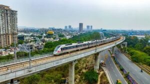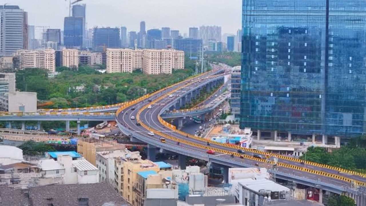
Hyderabad is set to receive a major overhaul of its transport network with the ‘Hyderabad Mobility Plan 2050’, which includes cycling corridors, skywalks and expanded metro services.
With this progress, the city will improve pedestrian infrastructure, forming the backbone of a long-term mobility strategy to support the city’s rapid growth.
The proposals were discussed during a workshop on the Comprehensive Mobility Plan (CMP) for the Hyderabad Metropolitan Area (HMA), organised by the Hyderabad Metropolitan Development Authority (HMDA).
Officials said the plan is intended to guide transport development up to 2050 and improve how people move across the city as its population and travel demand continue to rise.
Cycle Tracks and Skywalks Planned to Improve Everyday Travel
The mobility blueprint places greater emphasis on walking and cycling alongside public transport.
It proposes dedicated cycle tracks, additional foot-over bridges, skywalks and other pedestrian-friendly infrastructure to encourage safer and more sustainable travel.
The plan also includes new elevated roads, rail overbridges (ROBs), rail underbridges (RUBs), bridges, and road improvements designed to ease congestion and make it easier for commuters to switch between modes of transport.
Also Read: CAG Flags Governance Gaps as Major Roadblock to Urban Mobility Reforms in India
Metro and Road Network Set For Major Expansion
One of the biggest recommendations is a significant expansion of Hyderabad’s rail-based public transport. The CMP proposes hundreds of kilometres of additional Metro Rail and Multi-Modal Transport System (MMTS) routes over the next two decades to reduce dependence on private vehicles.
The wider transport strategy also calls for nearly 2,847 km of additional road and highway network by 2050, supported by around 19,352 lane-km of new road capacity.
Supporting infrastructure proposed by the plan includes 75 grade separators, 120 foot-over-bridges and skywalks, 34 rail overbridges, 16 rail underbridges, 8 elevated roads and 29 bridges across the Musi River. A 48-km Bus Rapid Transit System (BRTS) and seven new intercity and interstate bus terminals have also been proposed.
Also Read: Indore Plans Vijay Nagar Multimodal Mobility Hub to Boost Urban Connectivity
Long-Term Vision for a Growing Hyderabad
The proposals are part of a broader mobility roadmap that estimates around ₹4 lakh crore may be required to build transport infrastructure across the Hyderabad Metropolitan Region by 2050.
Officials and urban planning experts at the workshop stressed that improving public transport, integrating different travel modes and strengthening infrastructure for pedestrians and cyclists will be essential as Hyderabad continues to expand. The CMP will feed into the region’s Master Plan 2050 and serve as a guide for future transport investments.
Hyderabad’s mobility blueprint is an ideal transition from building roads to creating a more balanced transport ecosystem.
If executed as planned, the focus on public transport, walking and cycling could reshape daily commuting while supporting the city’s ambitions as one of India’s leading smart urban centres.

Samarjit Kaur is a journalist and communications professional covering technology & emerging digital trends. With a focus on clarity and context, she reports on developments shaping industries and governance. When not reporting, she chooses to plug-in and relax on her playlists and plan her next bucket-list trips!