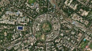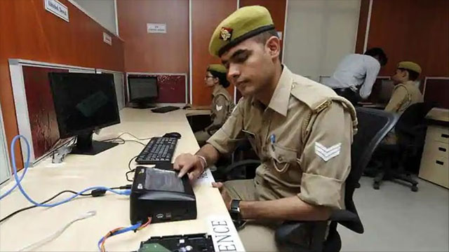
Bihar Police is preparing to digitally map the jurisdiction of every police station and outpost in the state, using geographic technology to help officers identify which unit should respond to an incident.
The proposed GIS-based portal is expected to reduce jurisdiction confusion, support emergency calls through Dial-112, and help authorities allocate patrol vehicles and personnel more efficiently.
Also Read: Delhi Launches GIS-Based Digital Database of Road Infrastructure for Better Planning
How the GIS-Based Police Mapping Portal Will Work
The portal will mark police station and outpost boundaries on digital maps, allowing officers to identify the responsible police unit when a crime is reported. The system could be particularly useful near railway lines, roads, canals and district borders, where jurisdictional confusion can delay action.
The initiative will add geographical information to Bihar Police’s existing digital infrastructure. More than 968 police stations and outposts in the state are already connected to the Crime and Criminal Tracking Network and Systems (CCTNS). The Inter-Operable Criminal Justice System (ICJS) also supports information sharing among police, courts, forensic laboratories, prosecution departments, and prison administration.
Also Read: AMC to Spend ₹240 Crore on Fresh GIS Mapping of Ahmedabad Despite Earlier Survey
Dial-112 Response and Patrol Deployment Could Improve
The proposed GIS portal will strengthen the coordination with Dial-112, Bihar’s emergency police response service. By identifying incident locations & nearby resources, digital maps could help control rooms determine which police unit should respond.
If integrated with real-time patrol vehicle location data, the system will help officials identify the nearest available vehicle & dispatch it to the scene.
The extent of any improvement will depend on how effectively the portal connects with existing emergency response infrastructure.
Also Read: GIS Mapping and Spatial Data Are Changing Land Use Laws, Property Disputes and Smart City Planning
Beat Policing and Crime Hotspot Analysis
The mapping system could also define police beats and neighbourhoods within each station’s jurisdiction, making individual officers’ responsibilities clearer. Senior officials could use the information to review patrol coverage and assess staffing, vehicles, and equipment needs based on population density, geographic coverage, and local crime patterns.
By recording where and when incidents occur, the portal could help identify crime hotspots and support targeted patrols, surveillance and special operations. Over time, the data could also assist predictive policing by highlighting areas that may need preventive measures.
The system’s efficacy depends on accurate boundary data, regular updates and training for police personnel. Records covering villages, municipal wards, station limits and sensitive locations will need periodic reviews. Bihar’s GIS-based police mapping initiative marks a move towards more data-driven policing.
Its practical value will depend on whether digital maps translate into quicker emergency responses, clearer accountability & better use of police resources.

Samarjit Kaur is a journalist and communications professional covering technology & emerging digital trends. With a focus on clarity and context, she reports on developments shaping industries and governance. When not reporting, she chooses to plug-in and relax on her playlists and plan her next bucket-list trips!